
The Big Picture of the Book of Mormon
Part 12 — Details of Hill Cumorah and Hill Ramah
“Five Clues. One Remarkable Geographical Pattern.”

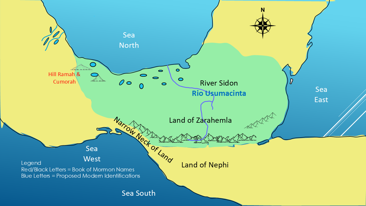
Two great civilizations.
Two final battles.
And one hill that connects them both.
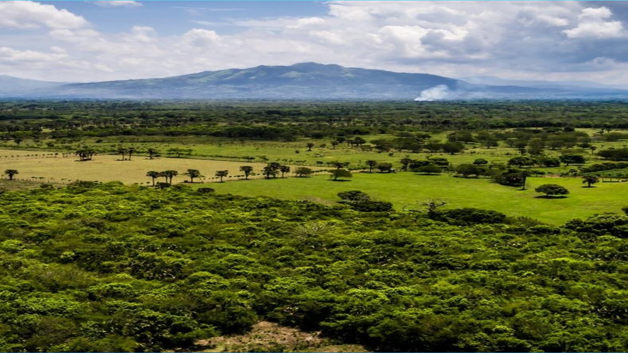
The Jaredites called it Ramah.
The Nephites called it Cumorah.
How do we know they were the same hill?
The answer comes directly from Moroni, who abridged the Jaredite 24 gold plates and preserved the history of both civilizations.
Let's examine the scriptural evidence.
But first…Welcome! I'm Kendall Mann, the Mormon Mann.
In this series, we're examining Mormon's geographical descriptions and using them to build a map of the lands described in the Book of Mormon.

If you'd like to follow along, see the maps, and explore the scriptures for yourself, visit my website at TheMormonMann.com.
And if you enjoy these investigations, please subscribe to the channel and join me as we continue searching the scriptures and following the evidence.
Now, let's get started.
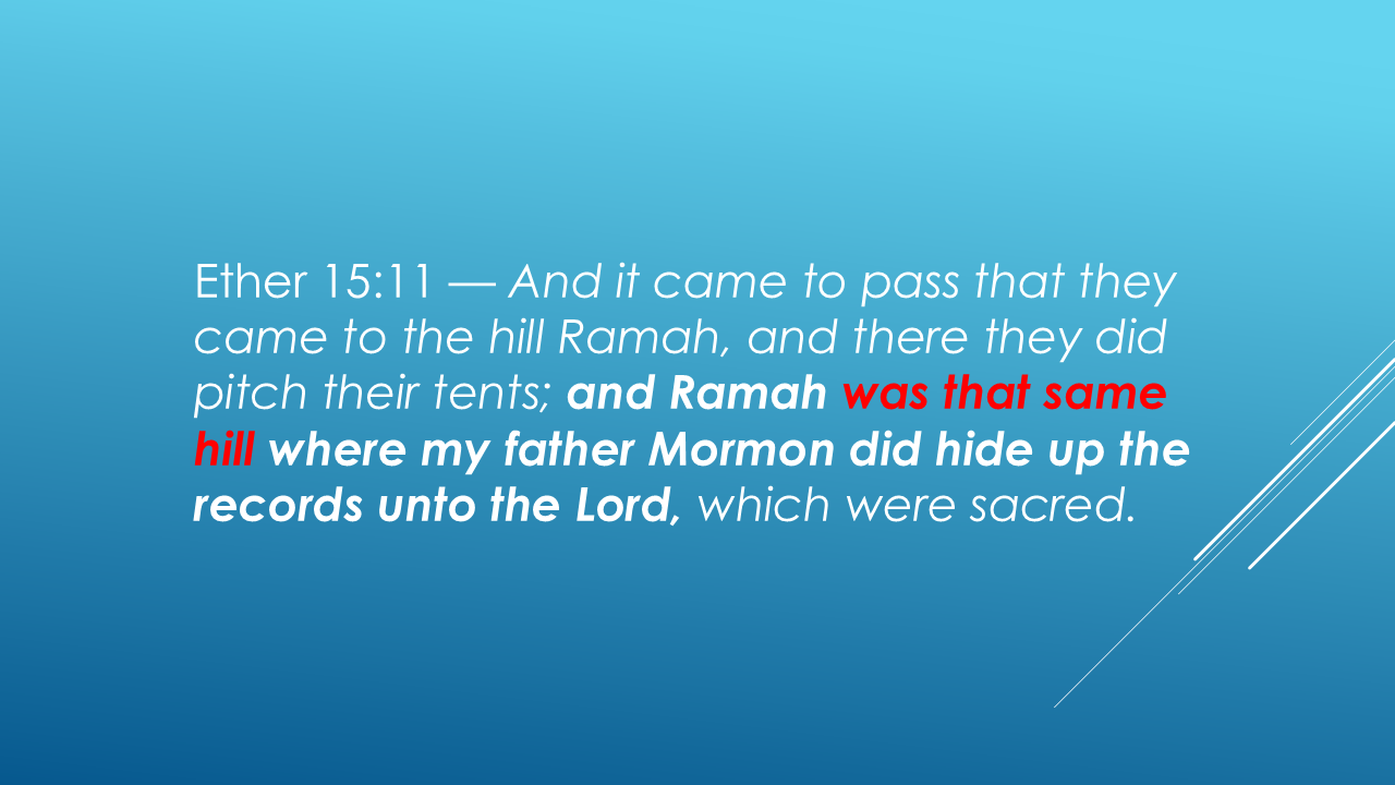
Moroni describes the Jaredite army gathering at Hill Ramah, then identifies it as the same hill where his father Mormon hid the records.
This is our starting point.
Moroni was abridging the Jaredite record. He tells us that the Jaredites' final battles culminated at Hill Ramah.
Then he makes the connection to his own people's history.
He identifies Ramah as the very same hill where his father, Mormon, hid the sacred records.
Mormon called it Cumorah.
The Jaredite record called it Ramah.
Clue 1: Hill Ramah and Hill Cumorah were the same hill.
This is not a modern theory or a proposed identification. Moroni explicitly makes that connection in the text.
Now let's look at the geography surrounding that hill.
The Jaredite record gives us another important clue—the Waters of Ripliancum.
Ether 15:8: Now we have our second clue.
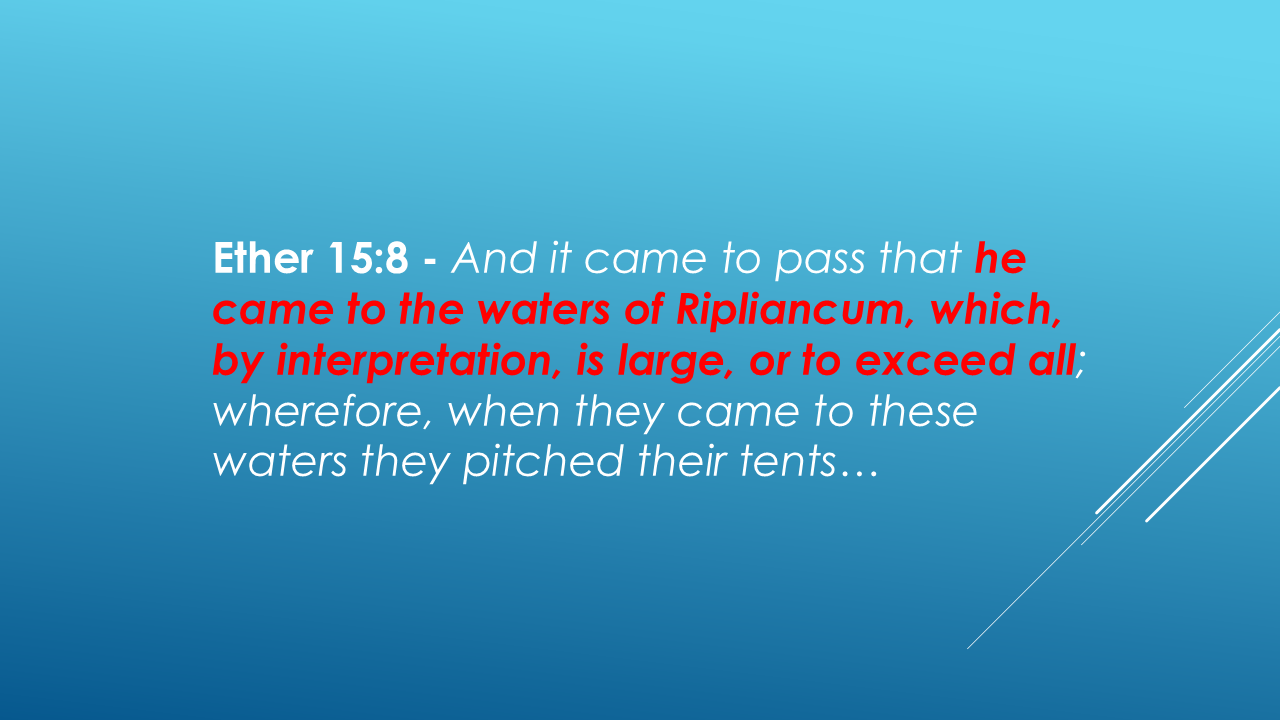
The meaning of Ripliancum gives us a description to investigate: waters that were exceptionally large.
But where were these waters in relation to Hill Ramah?
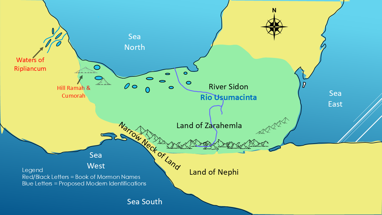
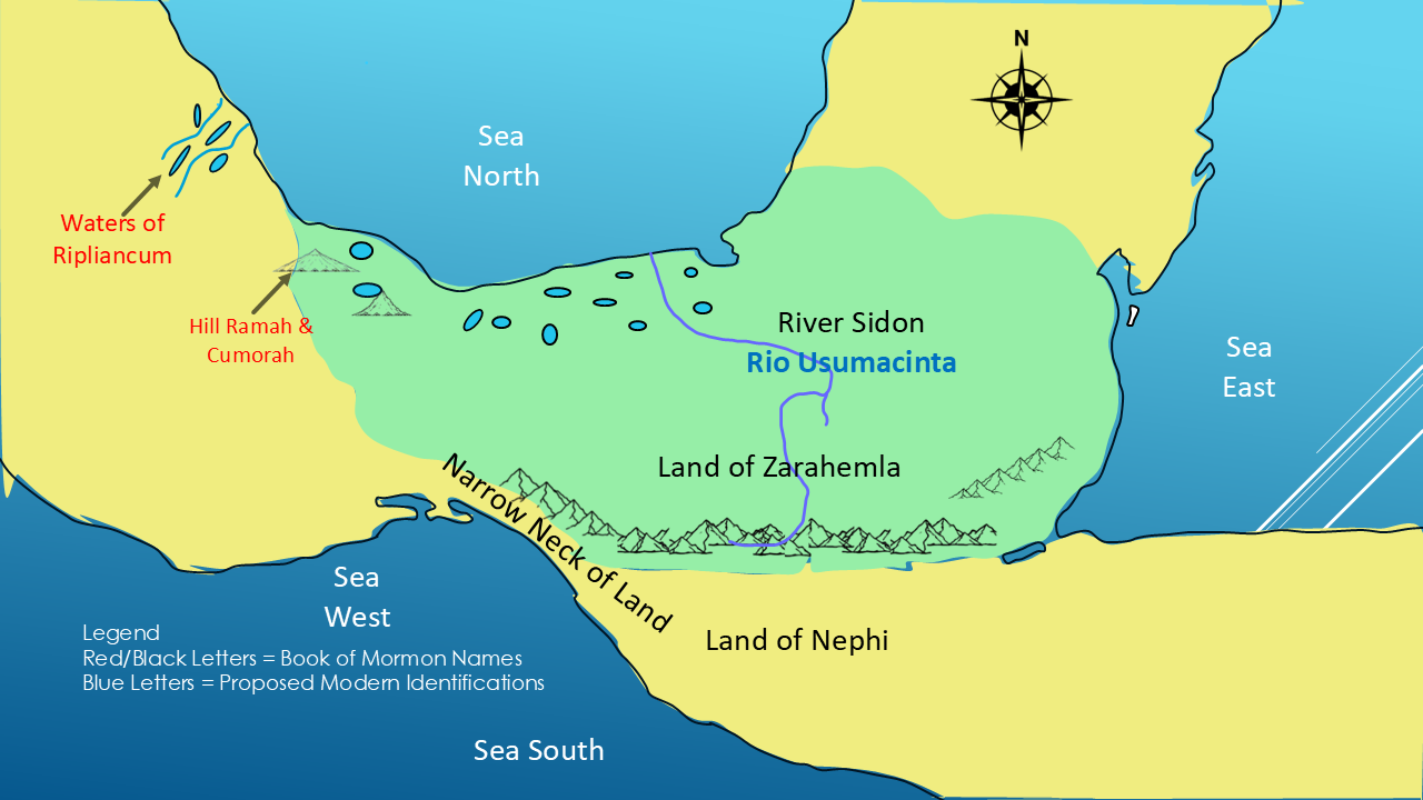
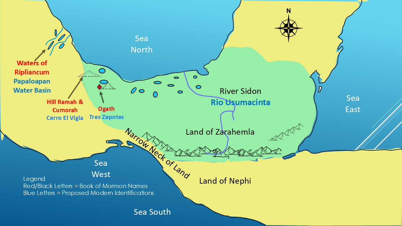
On our proposed map, the Waters of Ripliancum lie north of the hill.
To test that geographical arrangement, we need to look at a possible real-world location for Hill Ramah.
One candidate is Cerro El Vigía, in Veracruz, Mexico.
Why consider this hill?
It lies in a region of southern Veracruz where we can examine the surrounding terrain, rivers, lagoons, and wetlands against the geographical clues preserved in the Book of Mormon.
Let's see how this proposed location compares with the actual geography.
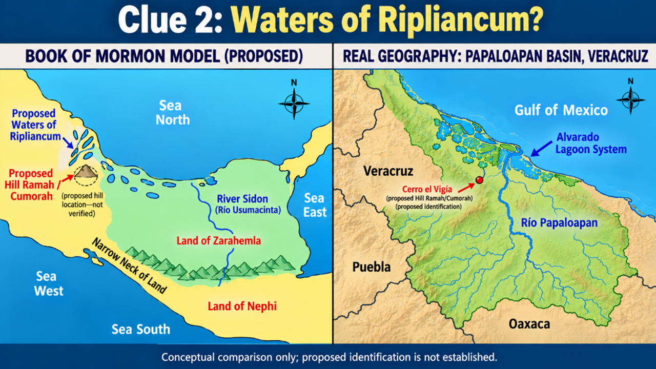
Look at the left side of the map. This is our proposed Book of Mormon geography, with Hill Ramah identified as Cerro El Vigía.
On the right is the real geography of southern Veracruz, including the Papaloapan River basin and the extensive Alvarado Lagoon System.
Why consider this region?
Because we aren’t looking for just any hill near a river. We’re looking for a location where the surrounding waters and the movements described in the Jaredite record might fit together.
The Papaloapan basin contains an extensive network of rivers, lagoons, and wetlands. That makes it a candidate worth examining against the description of the Waters of Ripliancum.
This does not establish identification. But it gives us a specific geographical possibility to test.
And the next clue takes us beyond the waters themselves.
What happened after the battle? Where did the armies go?
The Jaredite record gives us another important geographical clue.
After the battle near the Waters of Ripliancum, the armies did not remain there.
The record describes a movement southward.
Let’s read what happened.
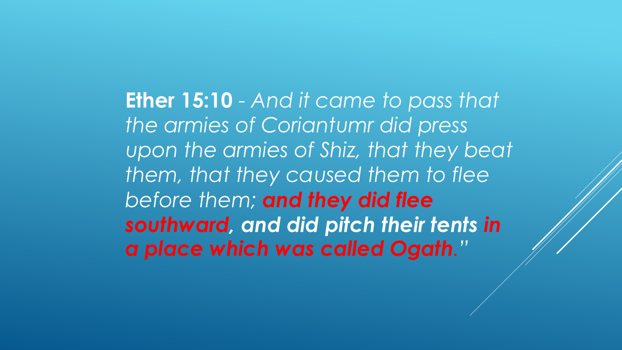
Notice the direction: southward.
The armies of Shiz fled south and camped at a place called Ogath.
That gives us a specific relationship to test on our map. If the Waters of Ripliancum were north of Hill Ramah, could Ogath have been farther south, in the direction of the hill?
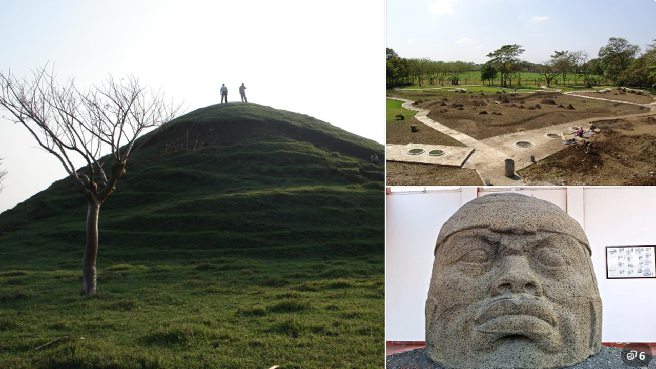
These are the ruins of Tres Zapotes, an important Olmec archaeological site in Veracruz, Mexico.
The site was occupied over many centuries, beginning in ancient times and continuing well beyond the earliest Olmec period.
Could this area help us identify the place the Jaredites called Ogath?
Remember, Ether tells us that after the battle near the Waters of Ripliancum, Shiz’s armies fled southward and camped at Ogath.
Let's look at the geography.
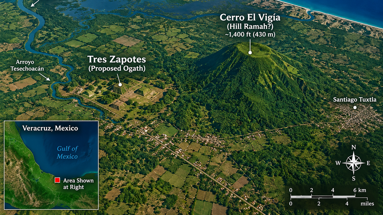
This modern map shows the region we're investigating.
To the north is the extensive Papaloapan River basin, which we're examining as a possible location for the Waters of Ripliancum.
Here is Tres Zapotes, our proposed location for Ogath, where Shiz's armies retreated.
And here is Cerro El Vigía, our proposed identification for Hill Ramah, also known as Hill Cumorah.
Notice how these locations allow us to compare the scriptural account with the actual terrain of southern Veracruz.
We have three geographical features to investigate: the extensive waters, the proposed location of Ogath, and the hill where the Jaredite record says the final battle took place.
When we put these locations together, the geographical fit is remarkable! The Papaloapan basin, the proposed location of Ogath at Tres Zapotes, and Cerro El Vigía as Hill Ramah form a pattern that appears to fit Mormon’s descriptions of the Jaredite battles.
And we’re beginning to see something exciting: the scriptural clues are falling into place on a map of the real world! Let’s continue examining the evidence and see where the next clues lead us.
The next verse brings us directly to Hill Ramah.
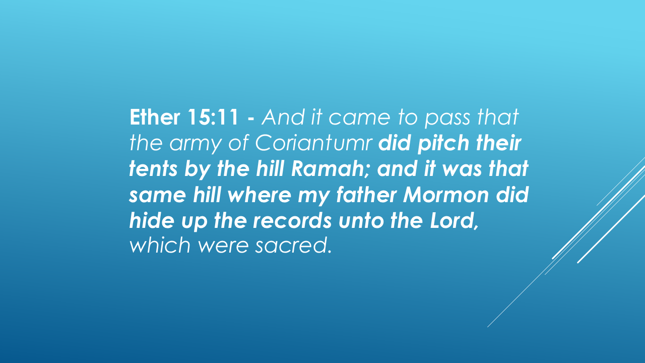
Here Moroni brings the account back to the hill we identified earlier.
The Jaredites called it Ramah. Mormon called it Cumorah.
Now we have three geographical elements to compare: the Waters of Ripliancum, the southward movement toward Ogath, and Hill Ramah itself.
Our next question is whether the surrounding geography continues to fit the account.
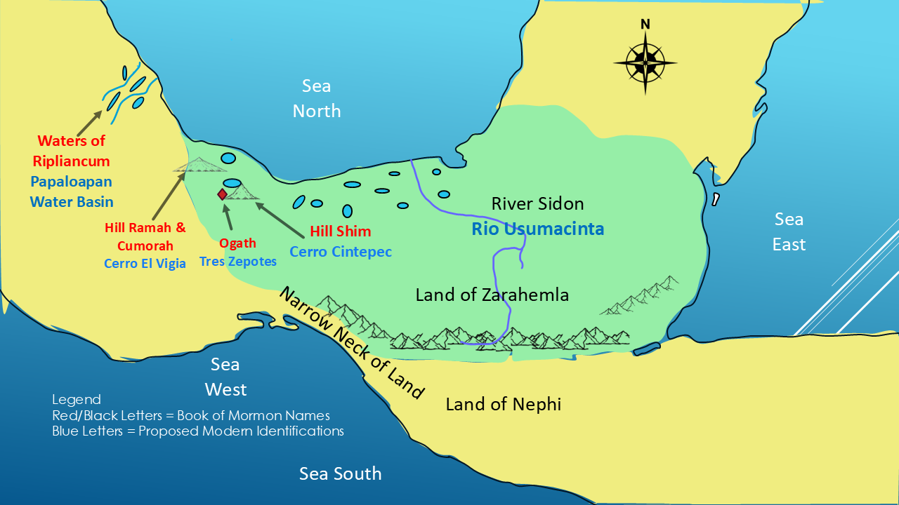
Our Clue #4. Hill Ramah isn't the only hill mentioned in the Jaredite record. Moroni also tells us about Hill Shim.
To understand how these hills may relate to one another, let's look at an earlier event in Jaredite history.
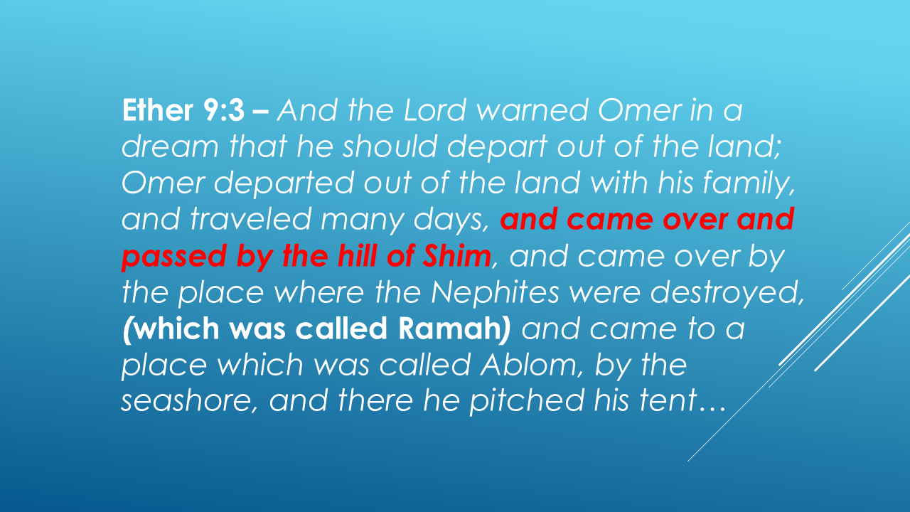
Notice that Omer passed Hill Shim and then traveled by the place associated with the destruction of the Nephites.
This gives us another geographical relationship to investigate.
In our proposed model, Hill Shim corresponds to Cerro Cintepec, while Hill Ramah/Cumorah corresponds to Cerro El Vigía.
If these identifications are correct, the two hills would occupy a meaningful relationship within the same regional landscape.
Let's keep both locations on our map as we examine the next clue.
CLUE — HILL SHIM AND CINTEPEC
Another interesting linguistic clue is the hill called Cintepec. In the Nahuatl language, its name means “Corn Hill.”
Interestingly, some Maya languages use a word for corn that sounds similar to Shim. Their “x” is pronounced “sh”. So, can the Maya Hill “Sh”im be carried over from the Book of Mormon Hill Shim?
Could Cintepec preserve a meaning similar to the name of Hill Shim?
It's an intriguing linguistic clue. And when we place Cintepec on our map, we find it in the same broader region as our proposed Hill Ramah and Hill Cumorah.
The name alone doesn't prove the identification—but it gives us another intriguing connection to consider.
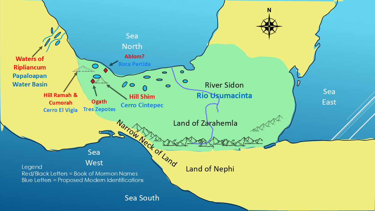
Our 5th Clue. The Jaredite record also describes a journey toward a place called Ablom, near the seashore.
This is important because it gives us another geographical feature to compare with the proposed locations of the two hills.
Let's highlight where Omer's journey took him to Ablom, by the seashore.
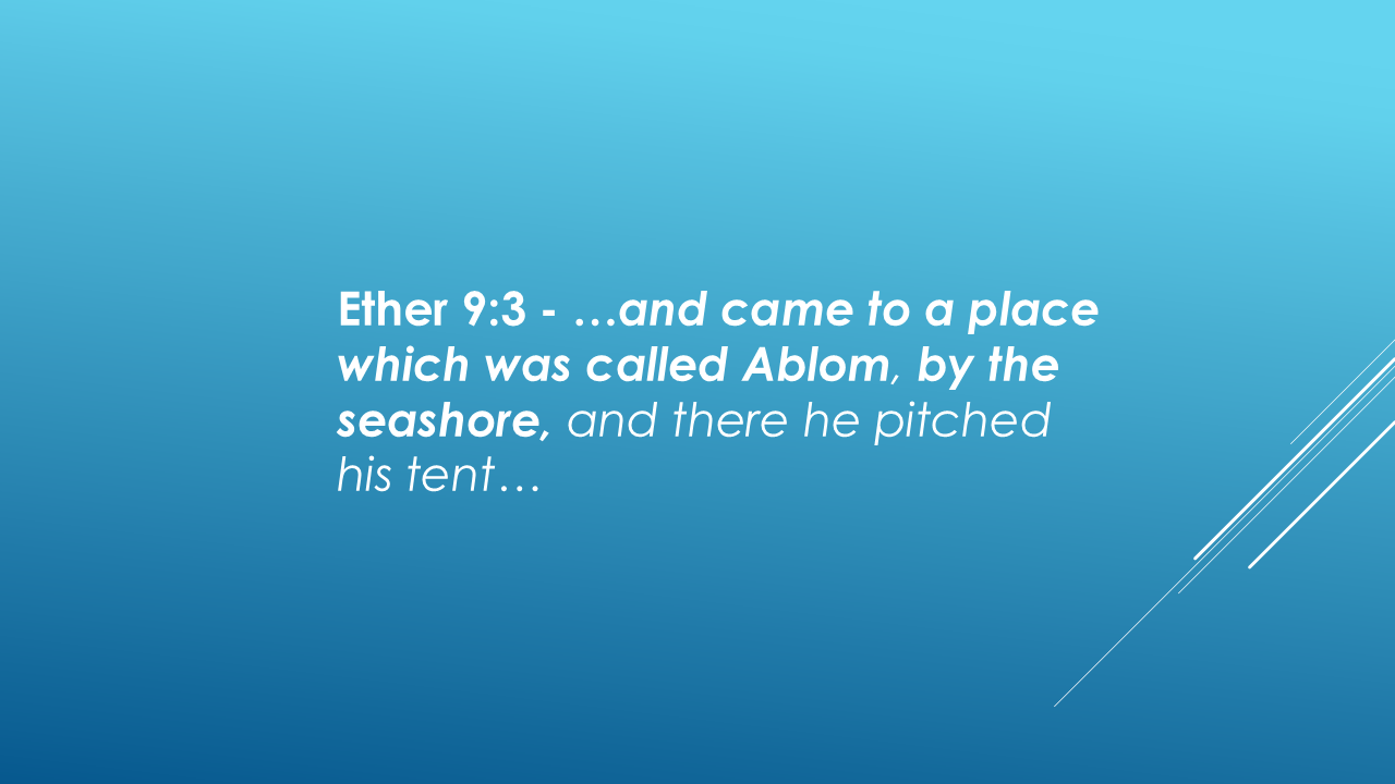
This passage describes Omer's journey past Hill Shim and the places associated with Ramah and Cumorah. He ends up “to a place which was called Ablom, by the seashore.”
That distinction matters. Is there a place that could match Moroni’s description?
Yes! Roca Partida is a dramatic stretch of coastline in the Los Tuxtlas region of Veracruz, Mexico.
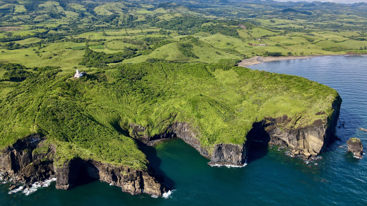
Here, volcanic rock forms steep cliffs overlooking the Gulf of Mexico, surrounded by lush tropical vegetation.
Why does this location fit our model?
The Jaredite record tells us that Omer traveled to a place called Ablom, “by the seashore.”
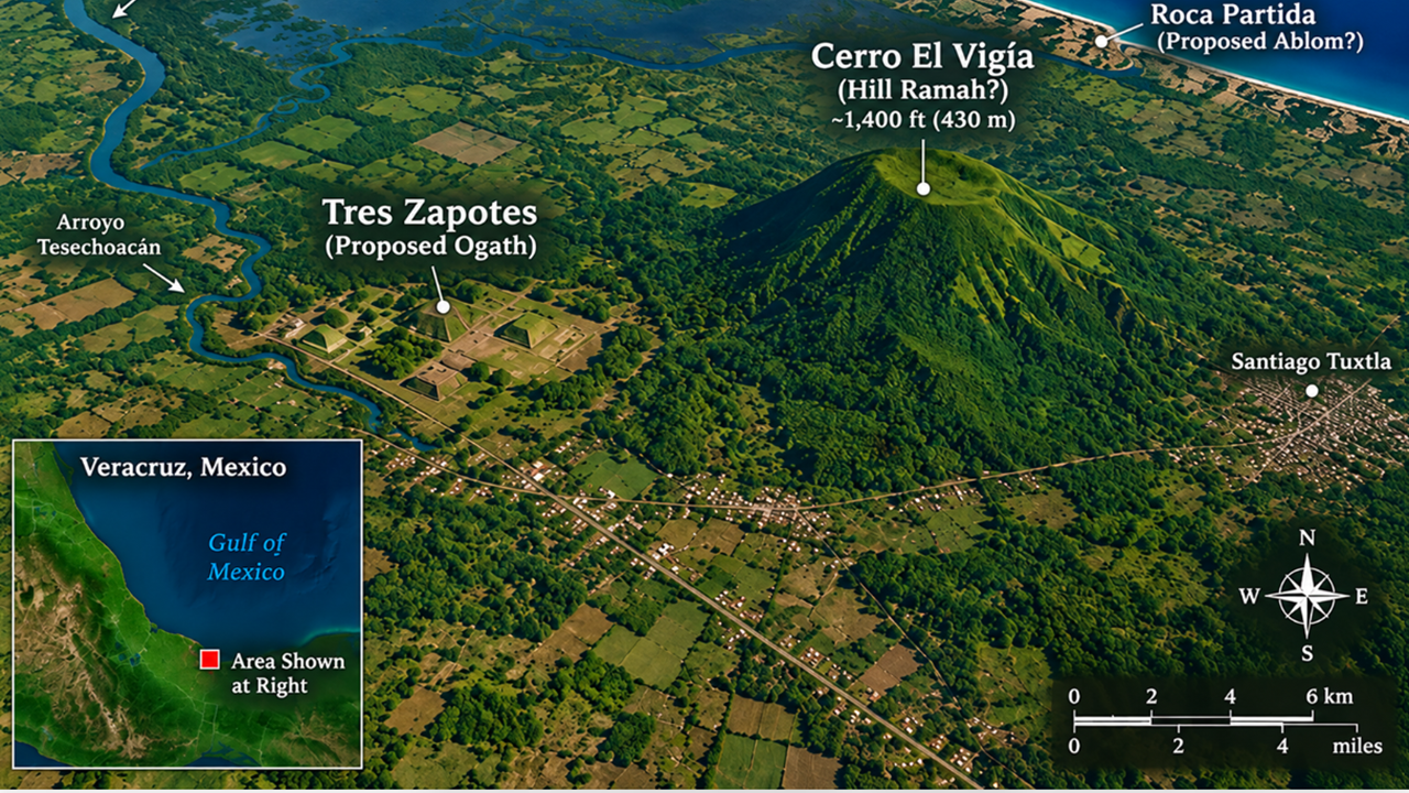
Roca Partida lies directly on the coast, making it a compelling possibility for Ablom.
Now look at the modern map.
The Jaredite record describes large waters, a southward retreat to Ogath, the coastal location of Ablom, and the final battle near Hill Ramah. It also identifies Hill Shim as an important location in Jaredite history.
Our proposed geography places these five locations in the Veracruz region of Mexico.
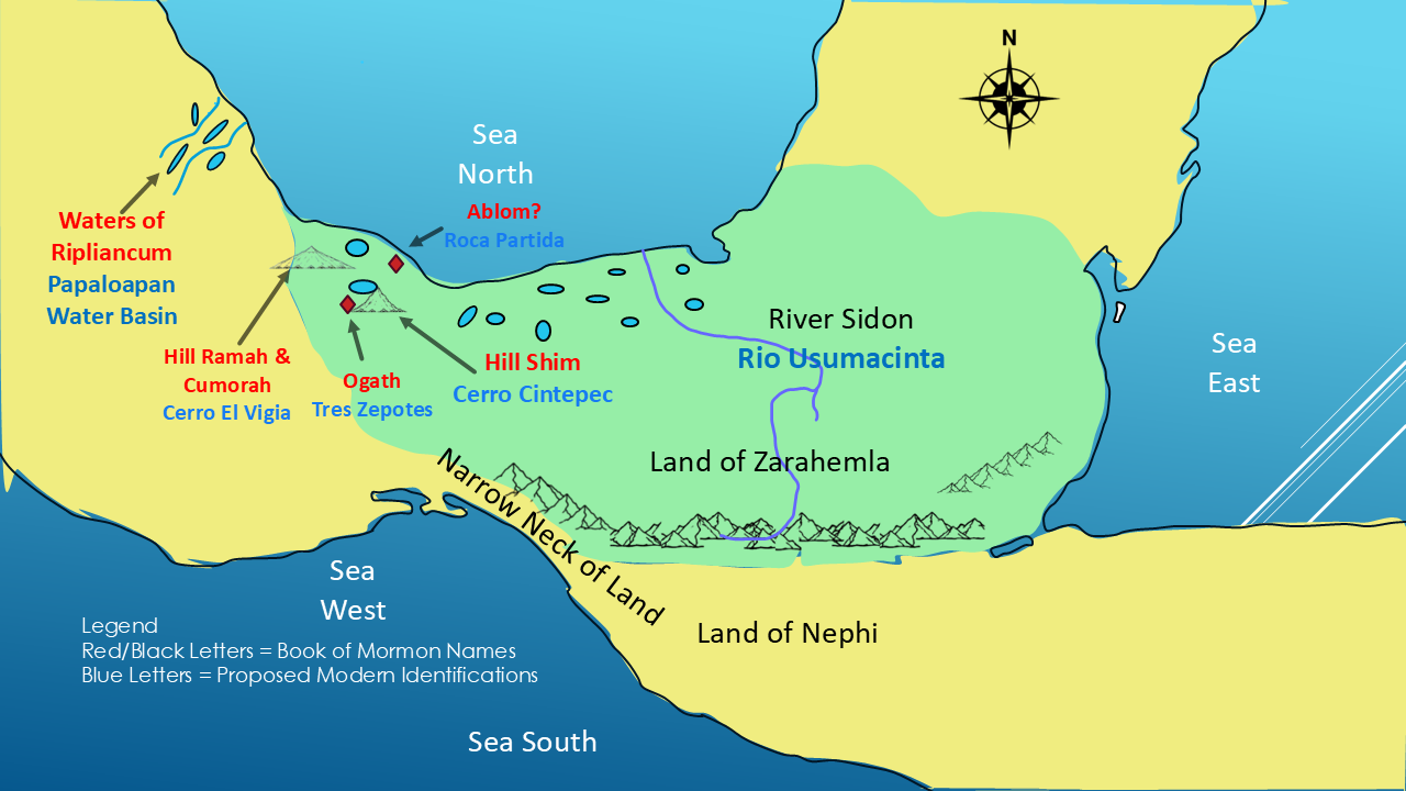
Five locations. Five geographical clues. And a geographical pattern that fits the movements described in the Jaredite record!
Let's step back for a moment.
In 1830, when the Book of Mormon was published, Joseph Smith had never visited southern Mexico. Modern satellite imagery didn't exist. LiDAR technology was still nearly two centuries away.
Yet the Jaredite record describes a sequence of geographical features: extensive waters, a southward retreat to Ogath, a place called Ablom by the seashore, and a final battle near Hill Ramah.
We've placed these locations on a modern map of Veracruz, Mexico, and found a geographical arrangement that appears to fit the movements described in the record.
So, here's the question: How could Joseph Smith have produced such detailed geographical relationships in his time?
Is this simply a remarkable coincidence? Or is there something more divine here that deserves our attention?
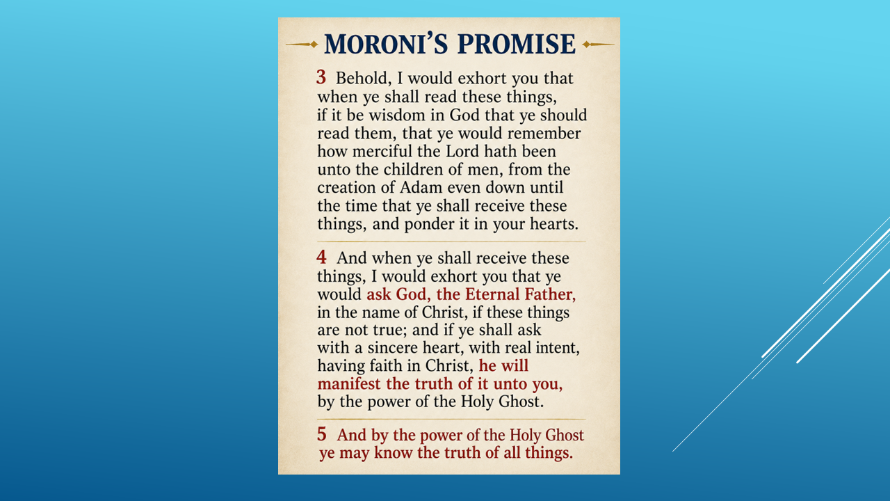
I'll leave that question with you as we turn to our final part of The Big Picture of the Book of Mormon.
Now let’s have some Fun! — Let’s speculate, and it is only speculation, not Mormon’s or Moroni’s directions…Let’s talk about…Where Did Moroni Go?
The Book of Mormon tells us that Moroni survived the destruction of his people. But it doesn't tell us where he went during the years that followed.
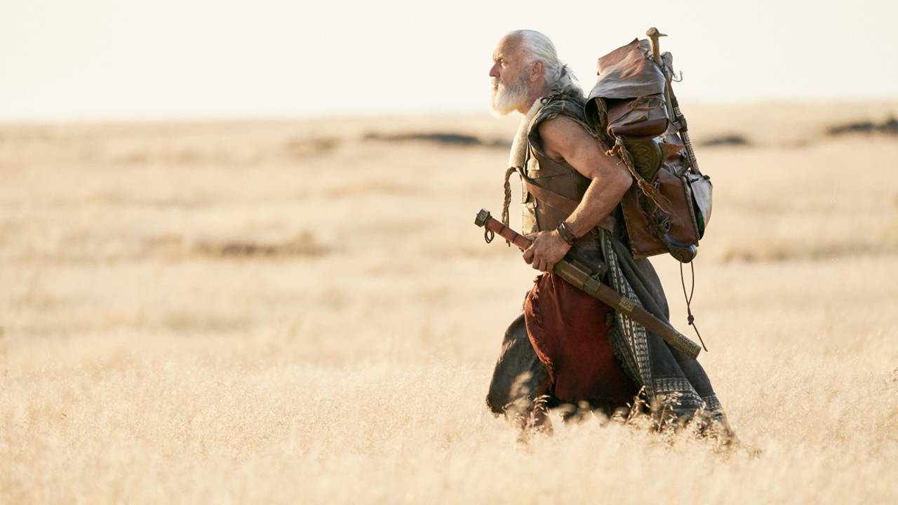
According to the Book of Mormon chronology, 36 years passed between the final Nephite battle in about AD 385 and Moroni's final record in about AD 421. This is what we know:
AD 385: The final battle at Cumorah. Mormon gives Moroni the remaining plates. (Mormon 6:5–6)
AD 400: Moroni says he is alone and hiding from the Lamanites. (Moroni 1:1–3)
AD 421: Moroni writes that more than 420 years have passed since the sign of Christ's birth. (Moroni 10:1)
We have a 36-year span, but we do not know how many of those years Moroni spent traveling, or exactly when and where he buried the plates. The year 421 dates his final writing, not necessarily the precise day he buried them.
If the final battle took place in Veracruz, Mexico, could Moroni have traveled all the way to New York during those 36 years? It's possible to explore as a hypothesis, but the scripture doesn't tell us his route.
Here is one speculative possibility.
As the Nephites expanded into the land northward, could Moroni have traveled in that direction, avoiding the conflicts and dangers that remained? The Heartland Model points to ancient earthworks and burial mounds across eastern North America. Could any of these be connected to the destroyed peoples described in the Book of Mormon? We cannot establish that connection from the archaeological evidence alone, but the question is worth considering.
There's also an intriguing tradition associated with the Manti Temple in Utah. According to a recollection of Warren S. Snow, Brigham Young told him in 1877 that Moroni had stood on the hill and dedicated the site for a future temple.
If that account is accurate, it raises another question: Did Moroni travel through the region we now call Utah?
We must be careful here. This is a reported tradition, not a confirmed historical fact, and the Book of Mormon does not record Moroni's route.
Perhaps Moroni traveled widely before finally reaching the hill in New York where he buried the plates.
That's only speculation. The scriptures don't tell us where he traveled.
In this video, Part 12, We've followed Mormon's geographical clues. We've examined the proposed locations of Zarahemla, the Land of Nephi, and the lands and hills associated with the final Jaredite battles.
But another important question remains.
Where did Alma go?
The Book of Mormon describes Alma's movements and gives us geographical clues that may help us trace his journey.
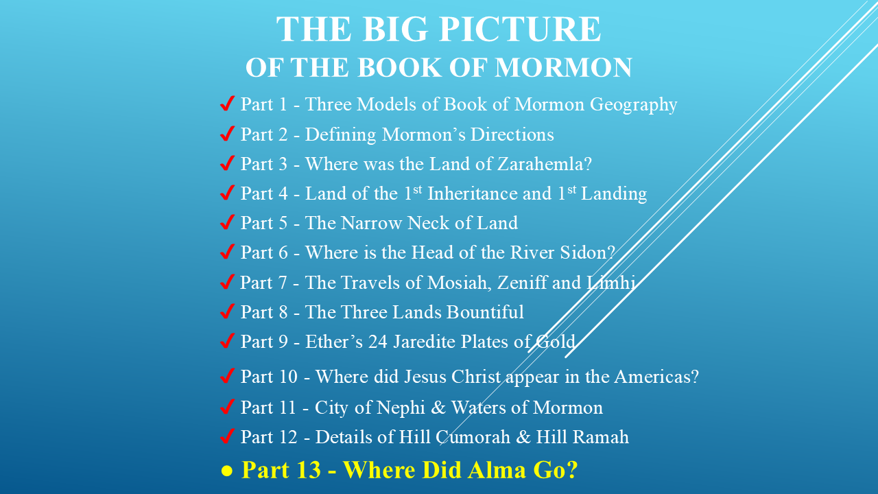
In Part 13, we'll follow those clues, put them on the map, and see where they lead us.
Join me for the final part of The Big Picture of the Book of Mormon: Where Did Alma Go?
If you've enjoyed this video, please push that Like button and share this video with your family and friends. Help spread the word!
And if you'd like to study these geographical clues at your own pace, visit my website,

There, you can read the scripts, examine the maps, and work through the evidence for yourself.
Thanks for joining me on this journey. I'll see you in Part 13!